
Old Fire Station
Site of old fire station

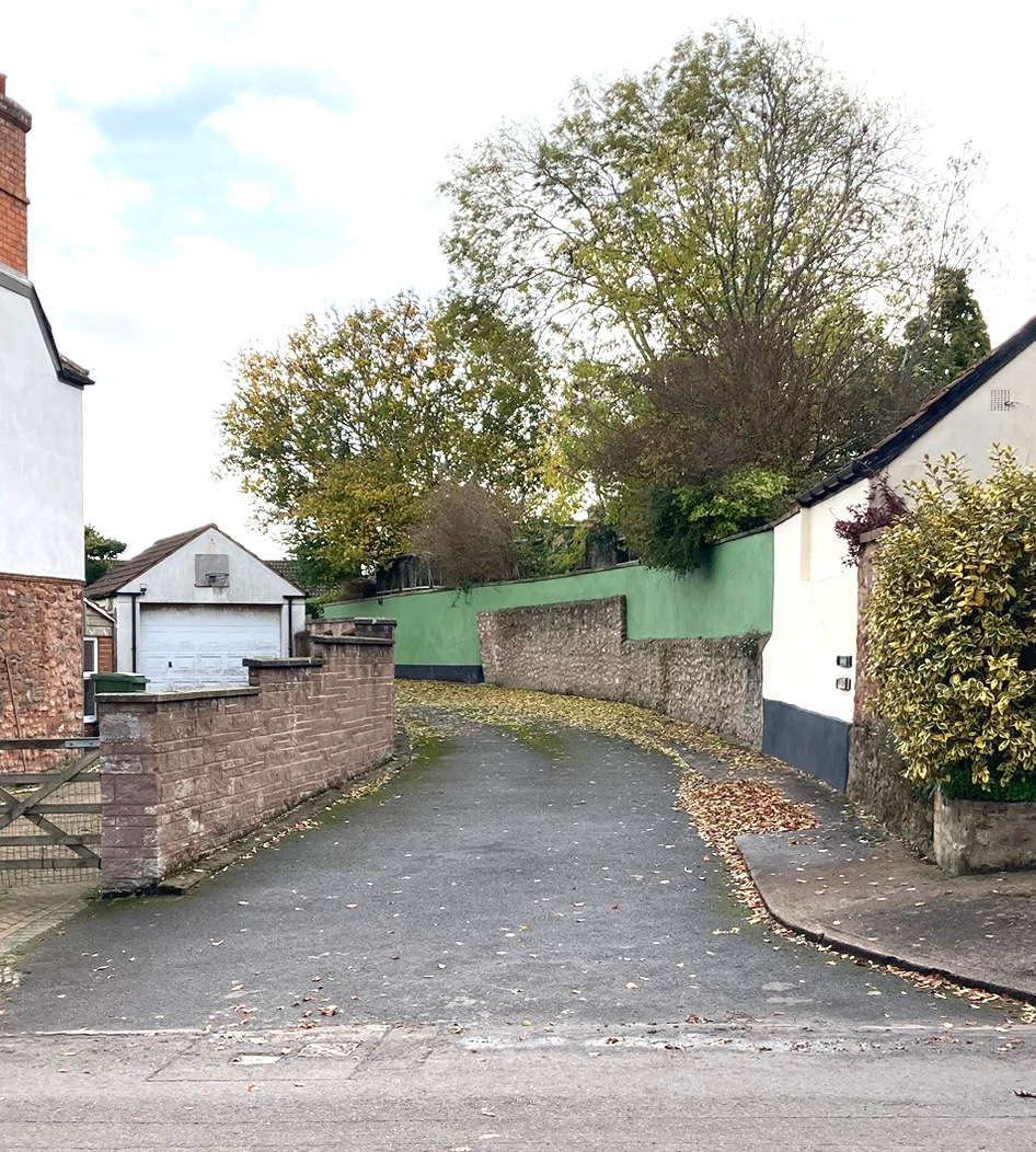
Old Fire Station - Currently a private road access to bungalows behind, this is the site where the old fire station stood until the late 1970s.
There was an agricultural building here from before 1750.


1750 map (left) ........ and 1895 map (right)
The building was converted to become the fire station in the mid 1900s by creating an opening in the end of the building adjoining Castle street.

Photo from around 1900 - the wall behind the women is the end of this building before the new opening was made for the fire engine access to Castle street.

Old Fire station front.
At the time, the Station Commander of the Nether Stowey fire station was Bob Evered, who lived next door in no.36, the house shown behind the fire station.

Photo looking from the east, 1960s?

A rather blurred air view from 1960s with old fire station outlined.

Photo looking from the west in 1970s - Stowey Carnival!
....
This page is still under review, please come back to see future additions.
....